Lubiewo, Warmian-Masurian Voivodeship
For other places with the same name, see Lubiewo.
| Lubiewo | |
|---|---|
| Village | |
 Lubiewo | |
| Coordinates: 53°49′N 21°32′E / 53.817°N 21.533°E | |
| Country |
|
| Voivodeship | Warmian-Masurian |
| County | Mrągowo |
| Gmina | Mikołajki |
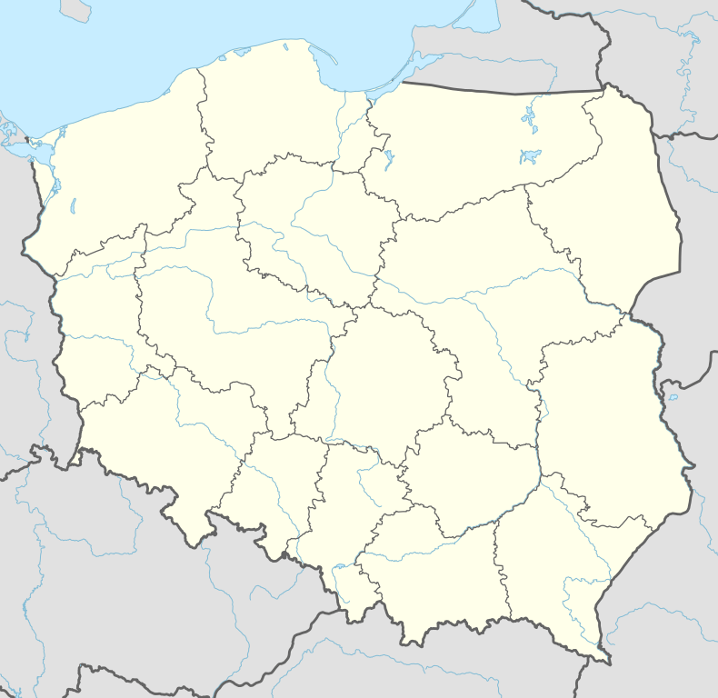
Lubiewo [luˈbjɛvɔ] is a village in the administrative district of Gmina Mikołajki, within Mrągowo County, Warmian-Masurian Voivodeship, in northern Poland.[1] It lies approximately 4 kilometres (2 mi) north-west of Mikołajki, 17 km (11 mi) east of Mrągowo, and 69 km (43 mi) east of the regional capital Olsztyn.
Before 1945 the area was part of Germany (East Prussia).
References
Coordinates: 53°49′00″N 21°32′00″E / 53.8167°N 21.5333°E
This article is issued from Wikipedia - version of the 5/20/2016. The text is available under the Creative Commons Attribution/Share Alike but additional terms may apply for the media files.